See police activity near the places that matter.
Check recent Austin incidents around an address, neighborhood, workplace, or other place you care about.
 Radius
Austin & Travis County
See recent public-safety activity across Austin and Travis County. Radius turns available public data and authorized scanner reports into cautious, plain-language map updates with source and location confidence kept visible.
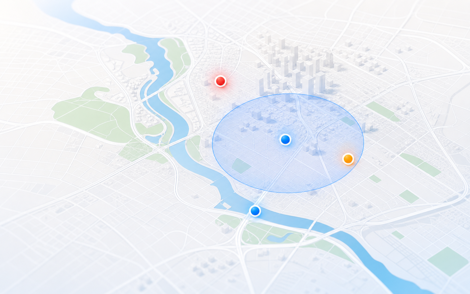
Useful Austin incidents are mapped only when Radius has enough context and a usable location.
What you can do
Check recent Austin incidents around an address, neighborhood, workplace, or other place you care about.
Police scanner traffic can become a cautious incident summary when it includes a real public-safety event, enough details, and a location that can be shown responsibly.
Learn why Austin sirens may or may not appearCheck the address report, save the place free, and add Plus later for email and optional SMS alerts, more places, or longer history.
What Radius shows
Radius combines available Austin-area public-safety sources and publishes cautious summaries when there is enough context and a usable location.
Browse reported police, fire, EMS, traffic hazards, major crashes, and other notable activity. Source labels show where each report came from; saved-place notices focus on high and critical incidents.
Location confidence
Raw radio traffic often includes unit numbers, partial addresses, status checks, and incomplete details. Radius filters vague or low-confidence clips and marks approximate locations rather than claiming false precision.
Austin coverage
Austin alerts
Start with one free Austin place and in-app notices when Radius is open. Plus adds email and optional SMS alerts away from the map, more saved places, custom radii, and longer history.
Or $49.99/year — save $9.89
FAQ
Radius is a local awareness map for Austin police activity, fire response, EMS calls, traffic incidents, and other public-safety reports. It is designed for people who want to understand what is happening nearby without listening to raw scanner audio.
Radius uses Austin-area police scanner traffic and public sources. It creates cautious summaries only when enough context and a usable location are available. Some Austin-area traffic may be encrypted, unavailable, or too vague to publish.
Yes. Save one Austin place free for high-priority in-app notices when Radius is open. Radius Plus adds email and optional SMS alerts for high and critical nearby incidents, more places, custom radii, and longer history.
Sometimes. Radius can help when available Austin-area sources produce enough context and a usable location. Some incidents will not appear because radio traffic can be encrypted, vague, delayed, sensitive, or unavailable. Learn why Austin sirens may or may not appear on Radius.
Austin summaries and locations are cautious and may be approximate. Radius labels source confidence and should be used as an additional awareness stream, not a sole source for decisions.
Radius filters weak audio, vague dispatch fragments, radio IDs, and uncertain locations. It also depends on source availability. The map is useful for awareness, but it will never show every call.
No. Radius is built for public awareness, not tactical tracking. It filters vague or sensitive activity when there is not enough public context to map responsibly.
No. Radius is not an emergency service and does not replace 911, city alerts, or official instructions. If there is immediate danger, call 911.