Shots fired 0.7 miles from Home.
You shouldn’t have to watch the map. Radius alerts you when serious activity is reported near your saved places.
In RadiusEmail alertOptional text
 Radius
Map
Radius
Map
Live public-safety map · Austin + San Antonio + Houston + Dallas
Check any address for nearby police, fire, EMS, and traffic activity. Save one place free. Radius Plus adds immediate email and text alerts when high or critical incidents are reported nearby.
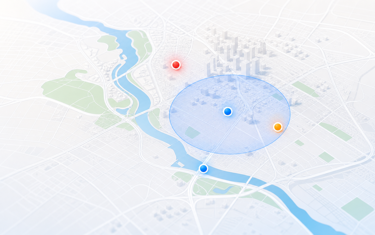
You shouldn’t have to watch the map. Radius alerts you when serious activity is reported near your saved places.
Austin + San Antonio + Houston + Dallas
Available official and public sources
Source and location confidence
Awareness only · Call 911 in an emergency
How Radius works
See the last 24 hours around any address, save one place free, and add alerts only when they become useful.
See reported activity from the last 24 hours within one mile.
Radius remembers the place and highlights high and critical nearby activity when you return.
Get immediate email and text alerts, plus more places, custom settings, and 72-hour history.
Current map activity
Loading the latest 24-hour activity across Austin, San Antonio, Houston, and Dallas…
Start with your question
Radius is built for the moments when you hear sirens, notice police activity, or want a clearer view of public calls.
See recent Austin and Travis County police, fire, EMS, and traffic reports, with source and location limits kept clear.
See Austin police activitySometimes Radius can connect nearby sirens to a reported response when an available source includes enough context and a usable location.
Understand Austin sirensBrowse official public police, fire, and EMS active-call data in a clearer citywide view that preserves location limits.
See San Antonio active callsRadius Plus
Radius Plus includes immediate email and text alerts, up to three saved places, custom radii, and 72-hour history.
Or $49.99/year — save $9.89
after a 14-day free trial
Where Radius works
Radius expands only where the available data and location quality can support a useful, responsible map.
Trust is part of the product
Public-safety information can be delayed, incomplete, approximate, or wrong. Radius labels the source, limits false precision, and uses careful language such as “reported” rather than presenting every detail as fact.
See how city sources, scanner summaries, location confidence, severity, and corrections work in our data and methodology guide →
Questions, answered plainly
Radius is a live local public-safety map and saved-place alert service. It brings police, fire, EMS, and traffic activity from available official data, public sources, and cautious scanner summaries into one clearer local map.
Search any address or place to see reported activity from the last 24 hours within one mile. You can then save one place free without a payment card.
You can browse the live map, check any address for a 24-hour report within one mile, and save one place free. Radius highlights high and critical nearby activity in the app when you return.
Radius Plus adds email alerts and optional SMS for high and critical nearby incidents, up to three saved places, custom radius and severity settings, and 48-hour and 72-hour history. It includes a 14-day free trial, then costs $4.99 per month or $49.99 per year.
Yes, as an optional Radius Plus feature. After activation, you can separately add a phone number and consent to SMS for high and critical incidents near a saved place. Email works without enabling SMS.
No. Radius only shows activity available through its sources and filters vague, sensitive, or low-confidence information. Details may be delayed, incomplete, approximate, or wrong.
Locations may be exact, block-level, area-level, or approximate, depending on the source. Scanner-derived summaries can contain transcription or interpretation errors, so Radius keeps source and location confidence visible.
No. Radius works in a modern web browser on a phone or computer. No app download is required.
No. Radius is an awareness tool, not an emergency service or official instruction source. Call 911 for emergencies and follow directions from public-safety officials.