Downtown Austin
Police, fire, EMS, traffic, and public-safety reports when available sources include a reliable downtown location. Downtown activity may include entertainment districts, government buildings, transit corridors, and major roads.
 Radius
Austin areas shown on Radius
Radius combines available Austin and Travis County public-safety sources and shows incidents when enough context and a usable location are available. The map may include city areas, neighborhoods, roads, intersections, or named places depending on what the source provides.
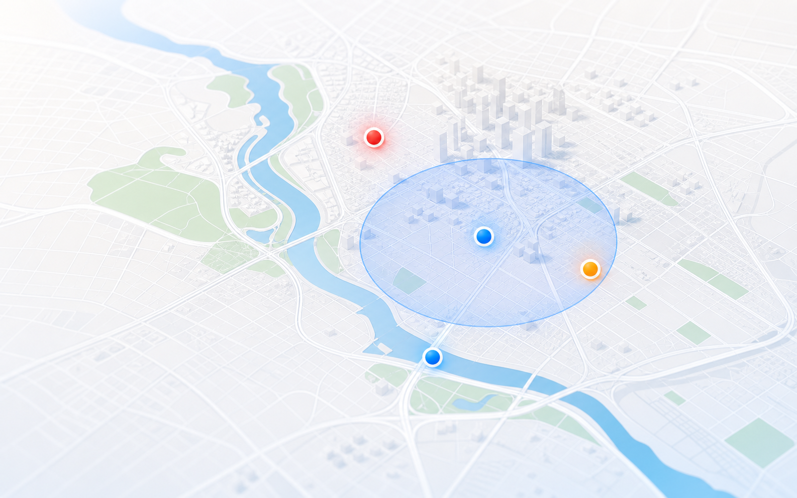
Radius prefers a useful approximate area over pretending every clip has exact address precision.
Police, fire, EMS, traffic, and public-safety reports when available sources include a reliable downtown location. Downtown activity may include entertainment districts, government buildings, transit corridors, and major roads.
Mapped activity around East Austin, Central East Austin, and nearby corridors when usable location details are present. Radius is careful with approximate neighborhood labels when audio is incomplete.
Notable public-safety activity in North Austin and nearby Travis County areas when source confidence is strong enough. This can include police activity, EMS response, traffic hazards, or fire calls.
Incidents around South Austin corridors, neighborhoods, and roads when the source includes a usable place, address, intersection, or named area.
Awareness for West Austin and lake-area reports when location confidence supports a reliable mapped location. Radius may keep events approximate when public details are limited.
Radius may show nearby Travis County public-safety events, but reports with weak or radio-only location details are not shown.
How areas work
Austin availability depends on the source. Police scanner traffic can add useful incident context, but only when the source is clear enough to identify an incident and a usable location. Some channels may be encrypted, quiet, delayed, or temporarily unavailable.
Coverage can vary by neighborhood and over time; Radius does not promise that every call will appear.
FAQ
Radius can show Austin and Travis County activity when the source provides enough context and a usable location. Availability is strongest where scanner traffic or public data includes clear streets, intersections, landmarks, or neighborhoods.
No. Radius filters weak audio, unclear locations, routine radio chatter, and missing source data. It is designed for awareness, not a complete dispatch log.
Public-safety sources may provide a block, corridor, neighborhood, landmark, or partial location instead of an exact address. Radius labels or limits precision so users understand confidence.
Yes. Save one Austin place free for in-app notices when Radius is open. Radius Plus adds email and optional SMS alerts for high and critical incidents within the radius you choose.