See official police, fire, and EMS calls.
Browse public San Antonio activity when official city rows include a usable location.
 Radius
Official public active-call data
See recent public police, fire, and EMS calls on a cleaner map. Radius keeps source confidence visible and labels block-level or approximate locations clearly.
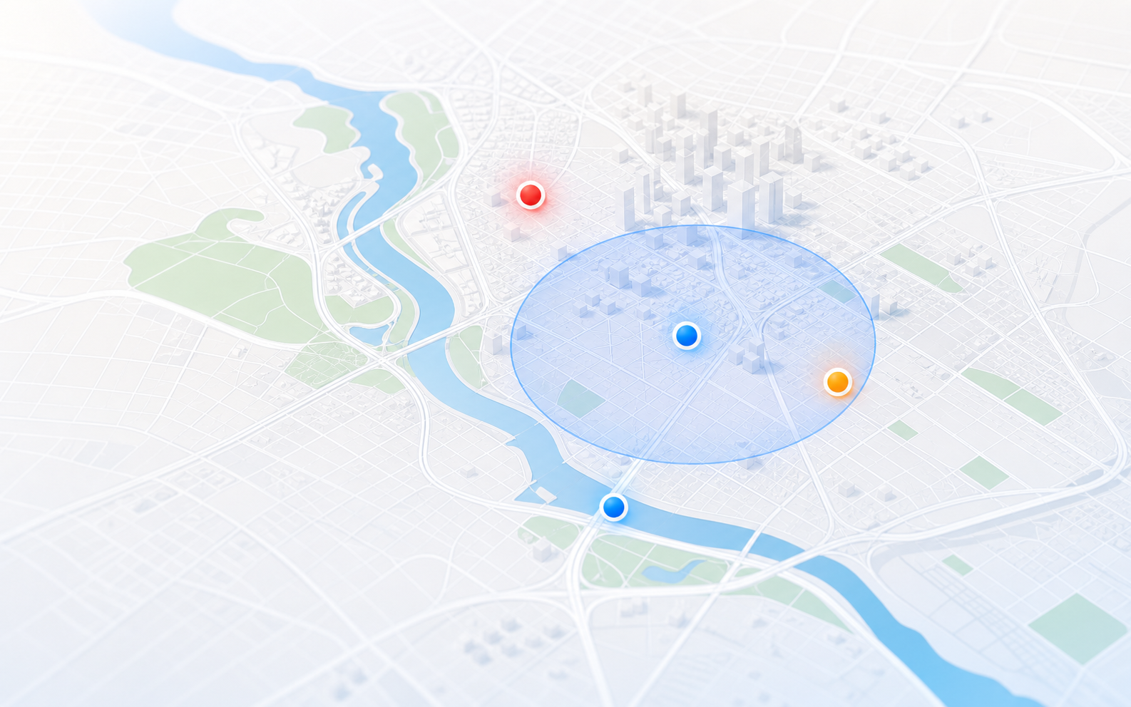
Radius filters low-information labels and keeps block-level locations honest.
What you can do
Browse public San Antonio activity when official city rows include a usable location.
Radius turns active-call rows into a map with source labels, severity rules, and recent time windows so residents can scan what is happening nearby.
Check the address report, save the place free, and add Plus later for email and optional SMS alerts, more places, or longer history.
What Radius shows
Radius turns official public active-call rows into a cleaner citywide map. Source labels and precision notes make block-level or approximate locations clear.
Use Radius for local awareness and saved-place alerts, not official emergency guidance.
Data quality
Public CAD rows can have broad call types, block-level locations, or vague labels. Radius keeps useful rows, filters low-information entries, and preserves source and location limits.
San Antonio coverage
San Antonio alerts
Start with one free San Antonio place and in-app notices when Radius is open. Plus adds email and optional SMS alerts away from the map, more saved places, custom radii, and longer history.
Or $49.99/year — save $9.89
FAQ
Yes. Radius uses official public San Antonio active-call data where usable public locations are available.
Not always. Locations may be block-level or approximate. Radius labels source confidence and should be used for awareness, not emergency response.
Yes. Save one San Antonio place free for high-priority in-app notices when Radius is open. Radius Plus adds email and optional SMS alerts for high and critical nearby incidents, more places, custom radii, and longer history.
Radius filters low-information labels and unreliable locations so the map stays useful. Public active-call data can also be delayed, incomplete, or unavailable.
No. Radius is for awareness. If there is immediate danger, call 911 and follow official instructions.