Downtown San Antonio
Public police, fire, and EMS activity when official active-call rows include usable downtown locations, nearby landmarks, streets, or block-level context.
 Radius
San Antonio areas shown on Radius
Radius maps San Antonio official public active-call data when usable public locations are available. Some locations are block-level or approximate, so Radius is designed for awareness rather than emergency instructions.
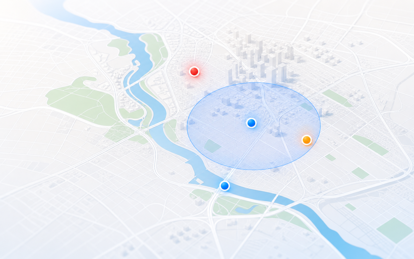
Radius shows public police, fire, and EMS activity where the public data supports it.
Public police, fire, and EMS activity when official active-call rows include usable downtown locations, nearby landmarks, streets, or block-level context.
Mapped public active-call activity across northern San Antonio when source locations are available. Radius may show approximate areas when public data is broad.
Official public active-call activity around Northwest San Antonio, shown with block-level care when needed so users understand source confidence.
Public safety activity across South San Antonio from official active-call sources where usable locations exist, including police, fire, EMS, and traffic-related reports.
Police, fire, and EMS active-call awareness in East San Antonio with source confidence labels and filtering for low-information incident names.
San Antonio active-call activity in western areas when the public source provides a useful call type and location.
How areas work
Official public active-call rows are strong, but they can still be incomplete. Some call types are broad, some locations are block-level, and some public entries do not explain enough to be useful. Radius filters and labels those limits.
That creates a clearer citywide view while keeping Radius an awareness tool, not a source of emergency instructions.
FAQ
Radius can show San Antonio activity when official public active-call rows include usable public locations. Coverage may be citywide, block-level, or approximate depending on the source.
No. Radius filters low-information call labels, unreliable locations, and public rows that do not help users understand nearby police, fire, or EMS activity.
Public active-call data may not provide exact addresses. Radius preserves useful awareness while avoiding false precision about police, fire, and EMS locations.
Yes. Save one San Antonio place free for in-app notices when Radius is open. Radius Plus adds email and optional SMS alerts for high and critical incidents within the radius you choose.